Access and Sevices |
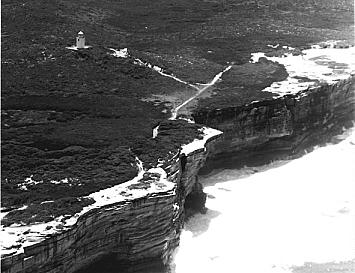
Cape Bailey Lighthouse
The treacherous wave actions above submerged reefs at Merries Reef off Boat Harbour, Point Long Nose, Cape Banks, Bare Island and near Inscription Point had caused the loss of several ships and a great number of pleasure craft, resulting in the deaths of several people. In 1979 the wreck of the Woniora was found in waters off Kurnell; it had sunk in 1882. The first warship lost in Australian waters was wrecked and sank after coming to grief on the Cape Banks reef in the 1940s.
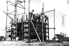
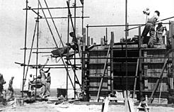
A lighthouse was plainly needed because of the nature of the coastline and the many dangerous bomboras. Cape Bailey on the easternmost projection of the Kurnell Peninsula, one and three quarter miles south of Cape Solander at the entrance to Botany Bay, was selected by the Department of Works as the midpoint between Wollongong lighthouse and South Head lighthouse at the entrance to Sydney Harbour.
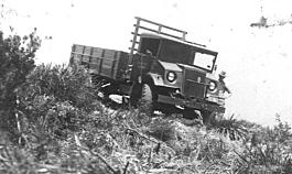
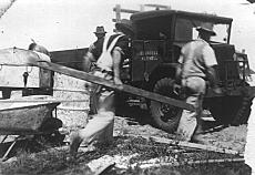
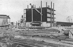
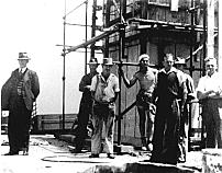
Work commenced in 1950 and was completed before the end of that exceptionally wet year. Difficulties were, not surprisingly, encountered bringing in the construction materials to the site through the swamps and sandhills. |
  |
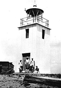
| The unmanned Cape Bailey lighthouse is a square concrete tower standing 180 feet above sea level. Its white flashing light is visible from 25km out to sea. The lighthouse uses a simple but effective mechanism for turning the gas light on at night and off in the daylight. It has a sun valve, an aluminium rod that acts in a similar fashion to a thermostatic switch. When the day cools, the rod contracts and turns on the light; when the sun warms the morning, the rod expands and turns it off. The light is fuelled from bottled gas. |
 |
| top of page |